blah blah blah
Green Mountain
Length: 2.8 miles out-and-backDifficulty (click for info): Moderate
Elevation Gain: 1370 feet
Rating (click for info): 6/10
Elevation: 1884'
Prominence: 1294'
Driving Directions:
From Rt. 153, 3.1 miles south of its eastern junction with Rt. 25 and 4.3 miles north of its concurrency with the ME/NH border, turn west onto Hobbs Road. Drive 1.2 miles down the dirt road. When you reach a sign indicating the start of a class 6 road, continue just a bit further and bear right into the grassy parking area. Click here for a Google map.
About the Hike:
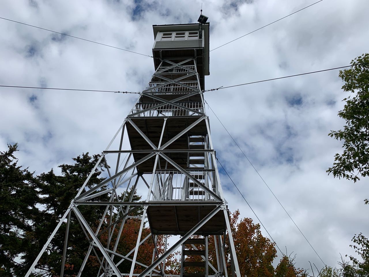
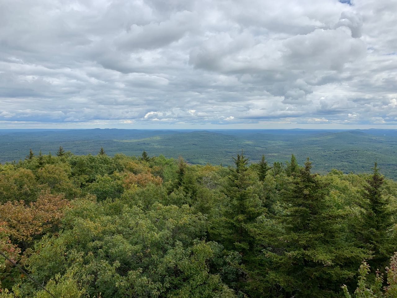
Green Mountain is the 16th most isolated mountain in New Hampshire. A sprawling collection of ridges and summits, it rises alone to the southeast of Ossipee Lake, in the town of Effingham near the Maine border. Most of the mountain is owned by the Forest Society as part of their High Watch Preserve, but a small square tract around the summit is owned by the state, and includes one of New Hampshire's 16 operating fire towers. The tower, which was recently rennovated, provides great views in three directions over endless lake country. There are three routes to the summit, all of which are short climbs with relentless steep grades and are maintained by the Forest Society. The hike we describe here uses the Dearborn Trail, which ascends through some nice forested ledges on its way to the top.
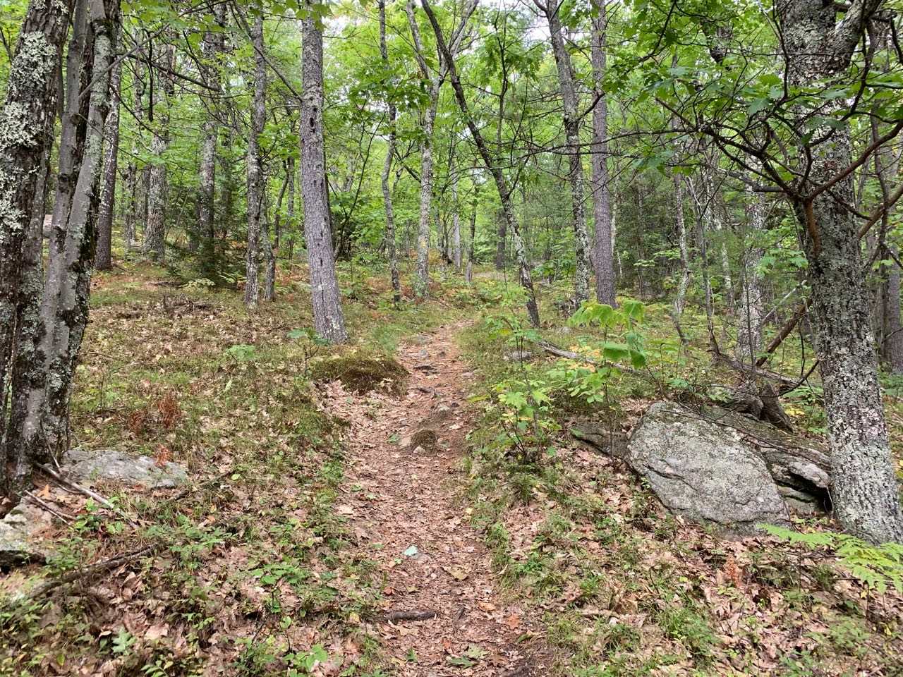
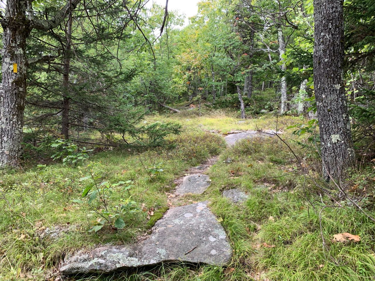
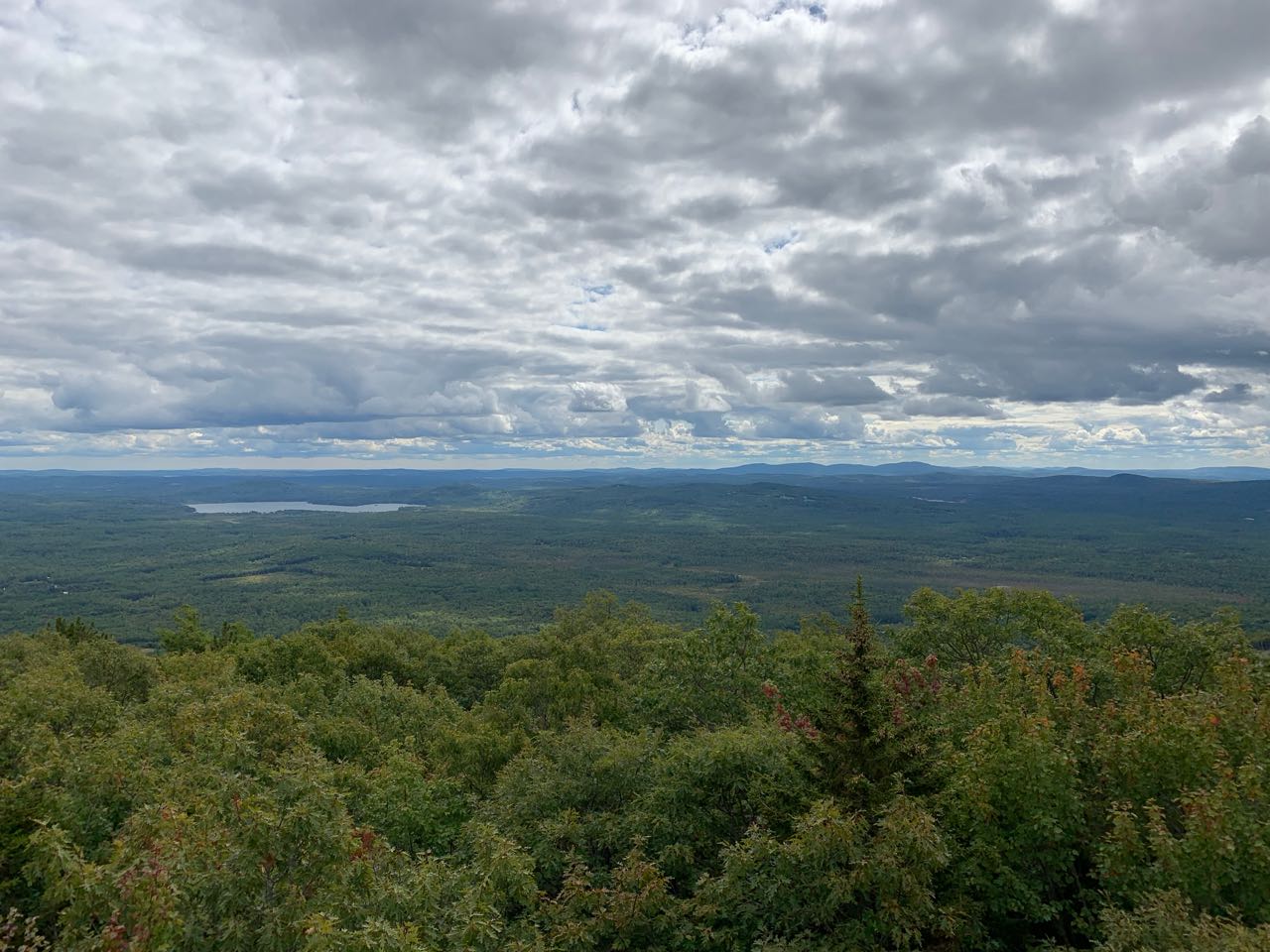
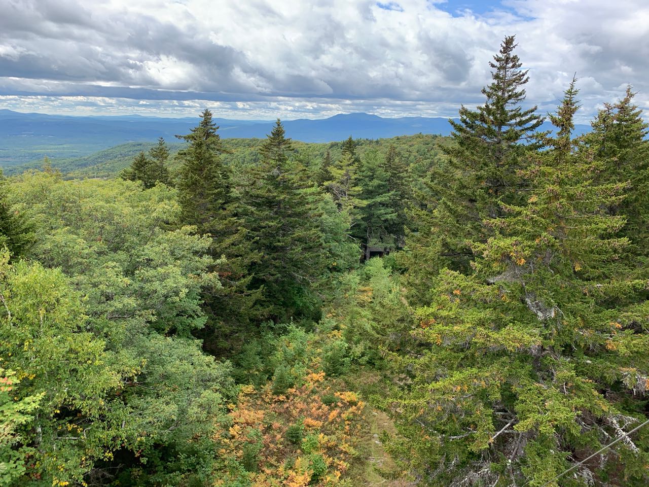
From the trailhead, walk past the kiosk and head out on the Dearborn Trail. The trail is initially flat, but doesn't take long to start increasing in grade. After half a mile, you are climbing pretty steeply and have attained the crest of a southern ridge. The trail ascends up the right side of the crest for a bit, then comes out onto some of the nicest ledges after another 1/4 of a mile, which it follows intermittently for the remainder of the climb. The trail continues uphill steeply for over 0.3 miles more, then eases at a small flat area. It then swings around to the right into darker spruce forest and makes a switchback to the left, continuing at easier grades and crossing the boundary onto state land in another 1/4 mile. The trail then leads across a flat area, swings through a grassy ledge, and arrives at the summit in 0.1 miles. Climb the newly-restored fire tower to see the panoramic views. Although the view to the White Mountains is blocked by some taller trees, you can see to the west, south, and east, looking over vast areas with numerous lakes and small hills. Most of the features to the east are in Maine, as you are not far from the state line. To the south, you look over Province Lake to the Moose Mountains and, further over to the west, the Belknap Range. Much of the Squam Lake Region can be seen from here, as well as Mt. Kearsarge in the distance. Partially hidden by the trees to the west are the Ossipee Mountains.
Printable directions page